When traveling, we often need a road map. Well, not anymore, most people use GPS.
But after 30 years of discussing transportation, the Bainbridge Island City Council at Tuesday’s study session reviewed the final draft for its Sustainable Transportation Plan. The most-recent version of the plan started two years ago, about the time COVID-19 hit.
City manager Blair King said the plan has “consumed the last couple years of his life,” referring to city public works director Chris Wierzbicki, who said the plan creates a clear road map of transportation priorities.
Jennifer Wieland of consultants Nelson and Nygaard said the plan “won’t sit on the shelf” and that BI should quickly see “behaviors change.” She said the plan incorporates all the values of BI: equity, safety, mobility, connectivity and reducing carbon emissions.
Even though Christmas was a few months ago, Councilmember Clarence Moriwaki said, “I feel like Christmas. I like them all.” He was referring to all the information in the plan. He said even though the plan is complex it is presented in such a way that it will “connect with the community.”
Councilmember Leslie Schneider, who was on the plan’s work group, said it really “circled the wagons around all ages and abilities,” and she wants to add “affordabilities.” She said she hopes the council fights for some off-road routes that did not make the list.
The council looks like it will choose Scenario 2 (see below) as a large majority already said that’s their favorite — Schneider, Moriwalki, Kirsten Hytopoulos, Mayor Joe Deets and Deputy Mayor Brenda Fantroy-Johnson.
Councilmember Jon Quitslund showed concern that other important issues might be overlooked with so much excitement over this transportation plan. “We’ve got to move with the other things as well, and be fair to all the different concerns,” he said.
Deets assured Quitslund that transportation works well with housing and equity priorities too.
Fantroy-Johnson said, “Everybody wants theirs first.” But she added that the plan won’t go away, and the process will continue to make sure all of the projects get done.
Moriwaki seemed to be amazed that a version of the plan has been worked on so long. It “tends to take so long to get things done here.”
The issue will come up again at a council business meeting. Staff is asking the council to:
• Offer input to finalize the plan.
• Add the plan to a council meeting to receive public comment and consider adoption.
• Consider any near-term project or programmatic actions the council would like to direct King to bring back for discussion.
• Consider any longer-term actions the council would like King to consider as part of the 2023-24 biennial budget process.
3 scenarios
The plan has three scenarios from which the council can choose. All include walking, rolling and biking projects; transit, bus stop, mobility hub and park-and-ride projects; programs and policies to complement sustainable travel modes; and new staff to help deliver the Sustainable Transportation Plan.
All three are based on the same list of projects, programs and policies. However, each includes a different mix of investments because of funding, implementation priorities and dependencies between projects.
Scenario 1 called Status Quo: Spend $20 million over 10 years. Includes 13 traffic calming locations; 24 mobility projects; electric shuttle for one year; two staff positions. The Spotlight Project would be the intersection at New Brooklyn and Mandus Olson.
Scenario 2 called Connecting Centers: $31 million over six years. Includes previous projects but also – completes five projects and adds eight “quick-win” islandwide projects; advances six mobility projects; delivers Connecting Centers project; four new staff. Spotlight Project connects Lynwood Center to Rolling Bay and links Sportsman Club Road to Miller Road with a focus on safety with buffers from traffic.
Scenario 3 called Islandwide Stretch: $36 million over 10 years. Includes previous plus improving safety on as many corridors as possible. 20 traffic calming locations; 38 islandwide projects; 11 mobility projects; 2 years of electric shuttle. Spotlight Project is North Madison bike lane. Separating bike lane improves safety on one of BI’s busiest corridors.
The general plan
BI wants to reduce carbon emissions by 90% by 2045, and to do that it needs sustainable transportation modes that are safe, accessible and connected.
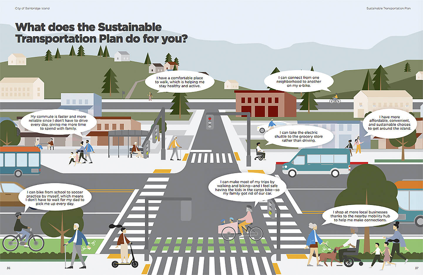
BI is facing a climate emergency with one-third of its emissions coming from transporation and travel. Getting people out of cars and encouraging them to walk, bike, use e-bikes and e-scooters or use public transit is the goal. It becomes even more important as BI’s population grows.
The plan was initiated by the council in late 2019 with the goal of establishing a vision for mobility on BI that would reduce carbon emissions and improve safety. The Vision Plan represents the work of city staff, consultant Nelson Nygaard, BI residents in a task force and a technical advisory group. The task force met 11 times over the 18-month project.
The 2045 Walking and Rolling Network for all ages and abilities is the result. It connects BI destinations with sidewalks, side paths, shared streets and upgrades to bike facilities, including separation from traffic to make them safer to encourage more use. It also includes the Sound to Olympics Trail connecting the ferry terminal to Agate Pass.
Improving mass transit with a Winslow circulator, electric shuttles and mobility hubs, along with on-demand service, is another part of the plan.
To advance the plan, it envisions a transportation commission and working groups. Efforts also would include community education, gravel shoulder maintenance and speed limit reform.
Travel options would include safe routes, rideshare and sharing programs. Funding would come from extending Transportation Benefit District and impact fees.


