As August nears, when summertime heat in the Pacific Northwest continues to ramp up, many lovers of the outdoors have been combatting the boredom of a pandemic lockdown by hiking some of their favorite local trails.
Luckily, Bainbridge Island offers numerous treks, most of which are relatively short stretches (it is an island after all) ranging from a half-mile to around two miles. Two of the larger trail systems, Grand Forest and Fort Ward, offer multiple paths for folks interested in getting out and enjoying a good sweat in the sweltering heat. Below is a guide for the two trail systems, highlighting terrain, special landmarks, and any unique or interesting sights and sounds trekkers may find along the way.
Grand Forest Trail System
Beating in the heart of Bainbridge Island sits the Grand Forest and its arteries: The Grand Forest Trail System. The trails are actually made up of three separate sections, west, east and north; totaling 7 miles. The east and west portions of the trail are typically the most popular as both consist of nearly three miles of looping and winding trails with terrain changes along the way. The north trail system is just under a one-mile loop and is a nice walk for those looking to take it easy and just enjoy the scenery.
The west and east parcels are in fact connected by the Hilltop Connector Trail, acting as a short bridge between the two trails where the forest opens up into a grassy meadow of sorts. As folks enter either the east or west trail, the main loop is what you’ll enter through and many side trails can be seen as you venture deeper into the forest. While en route, you may see a few wetlands or stream crossings. Bringing a map isn’t a terrible idea either, as it is quite easy to get turned around while taking in the beauty of the scenery. Markers are posted frequently along the trails to help wayward walkers re-orient themselves.
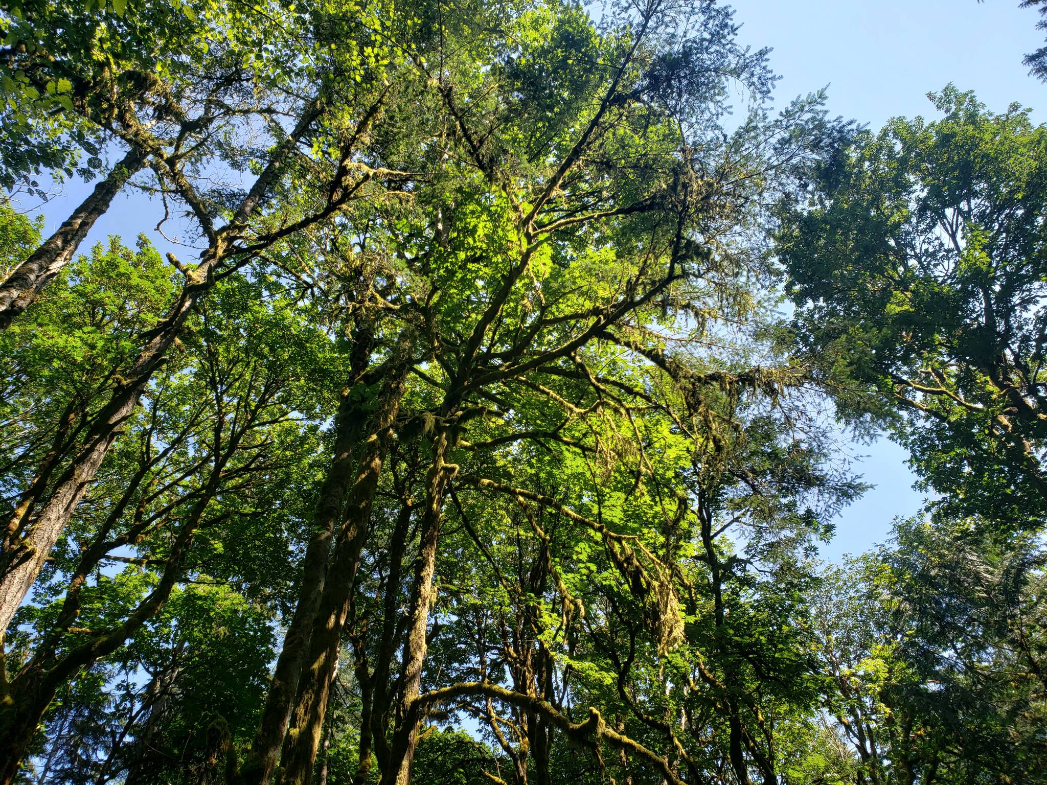
Any portion of the trail system is ideal for walking, running, and even bringing along a dog or horse. The terrain of the east path consists of a fairly narrow dirt and gravel path with many overhanging trees above to partially block the sunlight from seeping through, keeping the trek nice and cool. The deeper one goes, the denser the forest gets and visitors will often encounter moss-covered trees. Depending on timing, the trail can be incredibly quiet and peaceful where only the chirping of birds and other wildlife can be heard.
On the west trail, the start of the trek had noticeably wider walking paths where many harvested trees could be seen, opening up the forest to the sunlight. Visitors will observe the trail getting denser with these unique mossy, twisting trees. This portion of the trail system lies closer to the road, making it much less quiet due to the nearby traffic.
Fort Ward Trail System
Similar to the Grand Forest, the Fort Ward Trail System also consists of three trails. Located at the southern tip of the island, the trail system is part of Fort Ward State Park. All three trails consist of a total of 3.3 miles, so those looking for a bit longer hike should consider checking out all of them. The park has a rich military history as it served as a location of various forts meant to protect the Navy yard in Bremerton before being closed in the ’60s. Many of the old military forts and structures are still present today as they are now considered part of a public city park. The structures are noticeably old, outdated, and often covered in graffiti from visitors, providing a unique touch to the park.
The lower trail is considered to be a much lighter trek, just under a mile and offering a long-paved flat path that runs along the beach overlooking Puget Sound. The path is an ideal spot for visitors to bird watch and catch views of the Olympic Mountains, which can be absolutely stunning in the summertime. This trail can be accessed from the Pleasant Beach Drive NE parking lot. The Ridge Trail portion of the park is a half-mile trek that runs along an upland that also overlooks the Puget Sound.
The primary attraction to this trail system is the upper trail, which sports a quarter-mile, steep uphill climb to the forest’s upland area. As visitors head up the terrain, the vegetation is significantly greener and more vibrant than the Grand Forest Trail System. The steep climb is shaped like a long loop over a large drop-off in the middle of the forest. Along the way to the top, you might see the occasional park bench or picnic table where folks can stop and take a quick break to catch their breath while observing your surroundings. For hikers who are seeking even more mileage on those legs, a trail to Blakely Harbor can be found at the park, another popular destination near the south end of the island.


